|
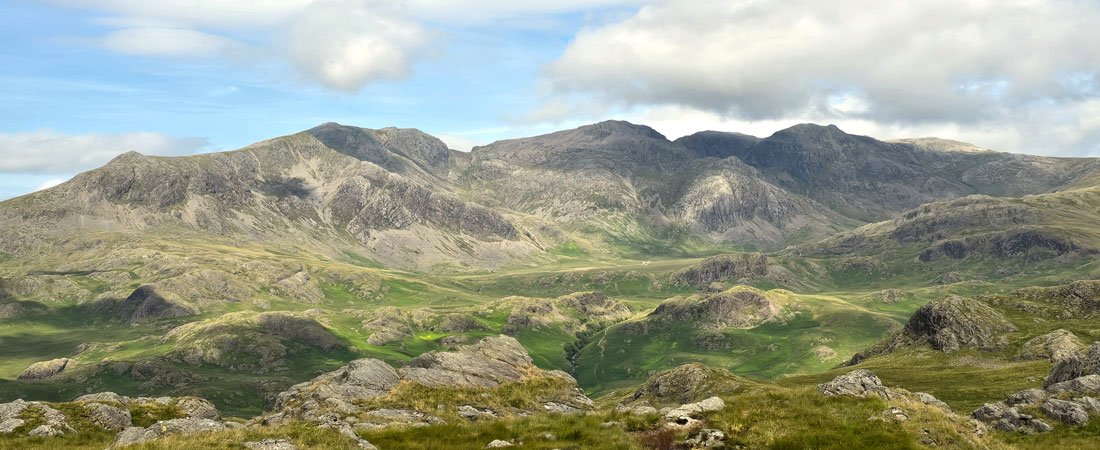
Harter Fell & Hard Knott from Jubilee Bridge |
 |
 |
23rd July 2026 |
 |
|
|
| |
|
Overview |
|
|
| Ascent: |
2,533 Feet - 772 Metres |
| Wainwrights: |
2, Harter Fell (Eskdale) - Hard Knott |
| Visiting: |
Border End |
| Weather: |
Mild With Sunny Intervals To Start Turning Brighter From Midday. Highs of 24°C Lows of 19°C |
| Parking: |
Parking Spaces, Jubilee Bridge Eskdale |
| Area: |
Southern |
| Miles: |
6 |
| Walking With: |
On My Own |
| Ordnance Survey: |
OL6 |
| Time Taken: |
4 Hours |
| Route: |
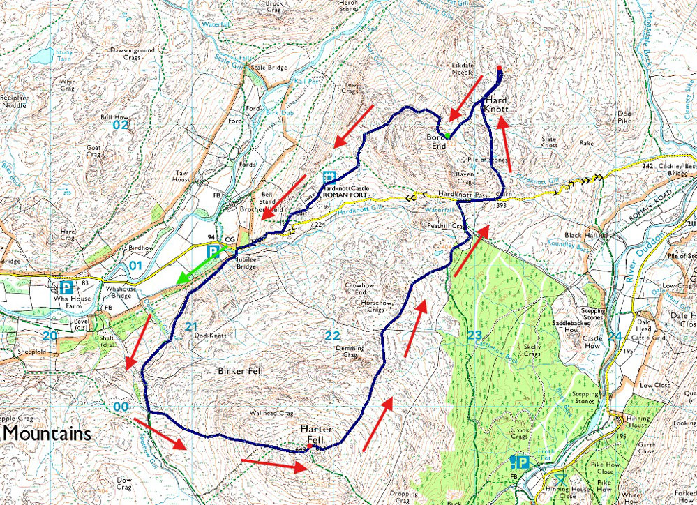
Jubilee Bridge - Harter Fell - Hardknott Pass - Hard Knott - Border End - Hardknott Roman Fort - Jubilee Bridge |
|
| |
|
Parking Details and Map |
|
|
| Nearest Post code: |
CA19 1TH |
| Grid Reference: |
NY 212 801 |
| Notes: |
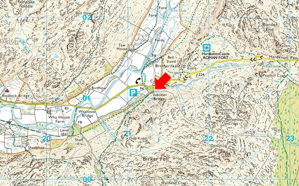
There is room for around eight well parked cars at Jubilee Bridge with further off road spaces found between Jubilee Bridge and Whahouse Bridge. The parking spaces are perfectly postponed to get into upper and lower Eskdale whether you aim for a walk up Harter Fell, Bowfell or the Scafells these spaces during summer are at a premium and my advice is to arrive early should you want to secure a parking place. Look out for the cattle grid at the bottom of Hardknott Pass (Jubilee Bridge itself cannot be seen from the road) parking can be found on the left if approaching from the top of the Hardknott Pass or just after the cattle grid on the right if approaching from Eskdale. Parking is free. |
|
| |
|
Map and Photo Gallery |
|
|
 |
| |
| |
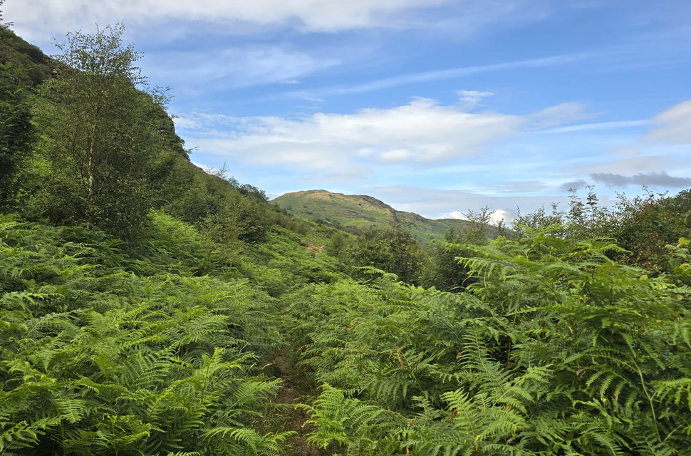 |
| Views beyond a sea of bracken towards Kepple Crag above Eskdale 19°C 9:15am |
I've returned to Eskdale for my final walk of the week after treating myself to a 6am lie-in. It's been an incredible five years since I last visited Harter Fell the first walk I did with David and Rod after the death of my father. I just don't know where the time goes because in reality it feels less than half that. One of my fondest memories from the day was the lovely walk from Jubilee Bridge taking in the views above Eskdale which today are a little restricted due to the shoulder high bracken. The only godsend was that the bracken was dry, although I must admit some sections still carried morning dew but nothing to write home about. I arrived at Jubilee Bridge after driving over the Wrynose and Hardknott passes and dropped into the parking spaces, grabbing the last spot between two cars whose owners were kitting up at the rear.
The first couple left towards Brotherilkeld, which was where I saw the solo walker heading, but minutes later I heard the sound of a gate opening and spotted him disappearing into the bracken. I still hadn't laced my boots, which gave him a good five minute start on me. By the time I was ready to leave, the guy was long gone. I crossed Jubilee Bridge and opened the same gate I'd heard earlier. Straight away I saw how high the bracken was and prayed it wasn't wet. It wasn't, and so I began the half-mile walk as the path climbed steadily above Eskdale the only noise disturbing the silence was the sound of a distant tractor baling hay close to Wha House Farm. |
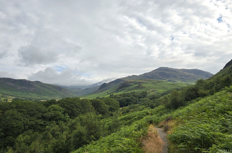 |
| Looking back at Hardknott Roman Fort, Hard Knott and Border End. |
| It's stilll looking cloudy over upper Eskdale but it won't be for long. |
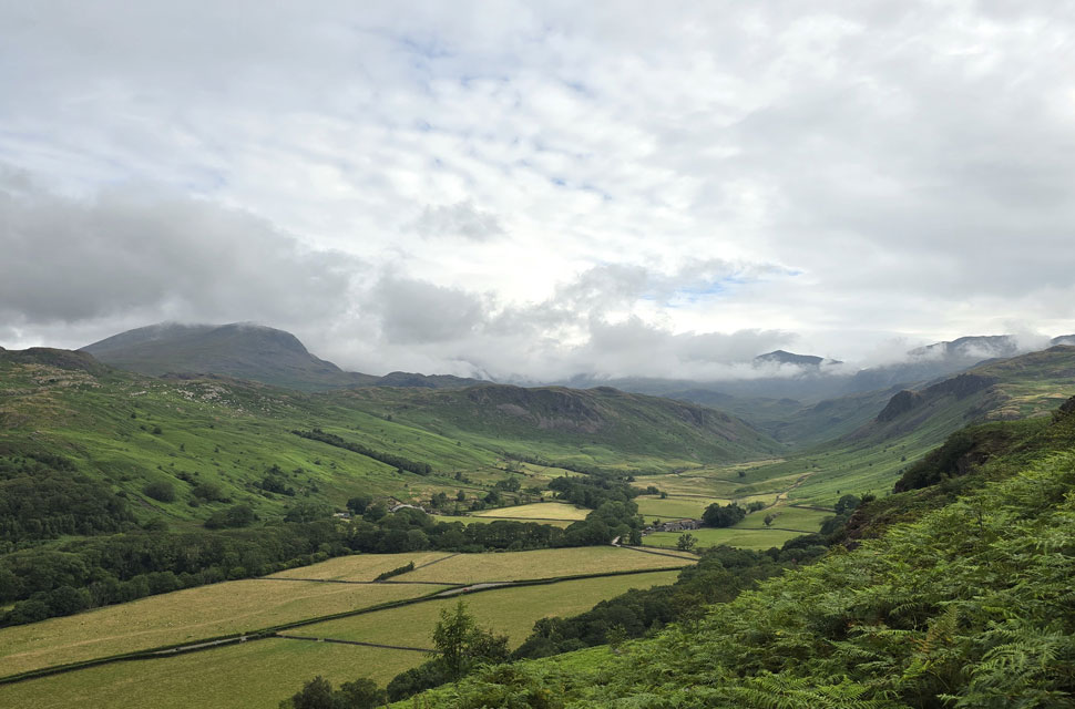 |
| Slight Side appears to the left ... |
| ... as does Bow Fell and Crinkle Crags centre right. |
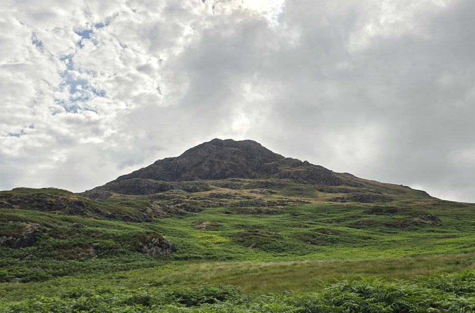 |
| Harter Fell (Eskdale) comes into view. |
| I thought I'd left the bracken behind, that was until I came in line with Spothow Gill, where the ground began to level and I got my first proper view of Harter Fell. From here I had a choice: take a narrow trod (foreground left) running through the bracken and onto the hillside, or continue further and hope the second path wasn't as buried. |
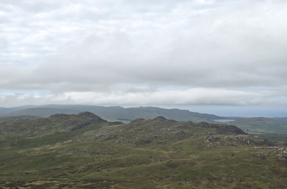 |
| Views over Green Crag (left) and Crook Crag (right) |
| With Devoke Water and the Devoke Water fells in the distance. Despite the haze and cloud the humidity was possibly the highest I've experienced all week. |
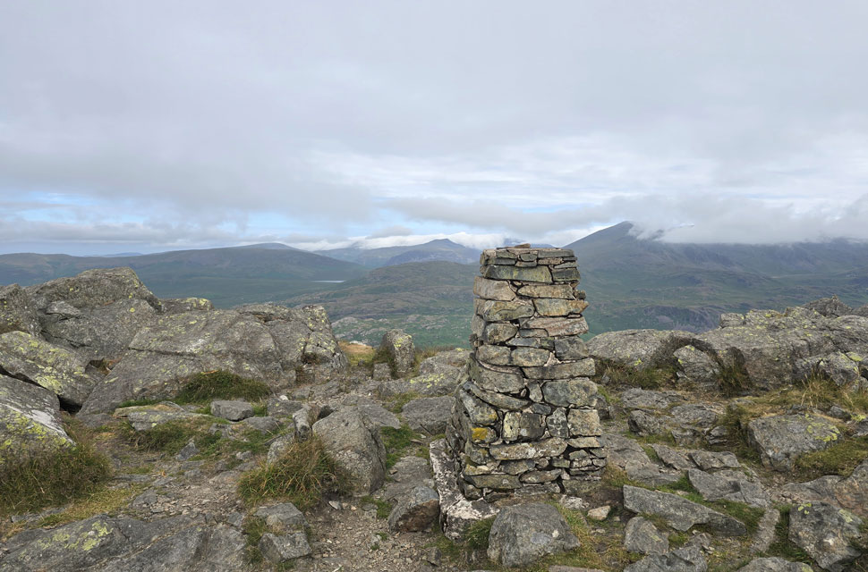 |
| Harter Fell (Eskdale) summit Trig Point. |
| I left the track and took the second path wading through more bracken ranging between knee and chest height, which eventually gave way once I began to gain height. The path is narrow but easy to follow, winding its way upward and offering hazy views over Morecambe Bay, stretching round as far as the Cumbrian coastline. Pity about the cloud hampering the views but it does seem to be lifting as the morning progresses. |
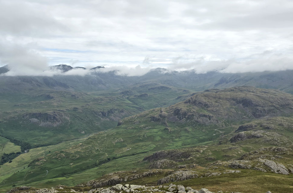 |
| Looking down on Hardknott Roman Fort, Border End and Hard Knott. |
| With the Scafells and III Crag summits clearing from cloud as was Esk Pike seen centre. |
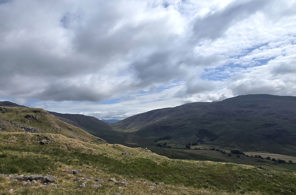 |
| Views through to Wrynose Bottom with the mass of Grey Friar towards the right. |
| I left Harter Fell summit and began my descent towards the top of Hardknott Pass, distant summits clearing and warm sunshine pushing through. What was normally a boggy descent was completely dry underfoot although at the time of writing this, rain is forecast for the weekend which will change conditions quickly. I flanked both Deeming Crag and Horseshoe Crag - two Birkett summits I last visited back in November 2019, bringing back fond memories of the day. The ground levelled and I passed Peathill Crag and soon after the top of Hardknott Pass came into view. |
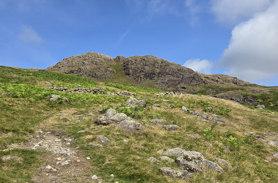 |
| Heading for Hard Knott after crossing the top of Hardknott Pass. |
| The tarmac had been scrawled with the names and counties of riders competing in the gruelling Fred Whitton Challenge back in April. I crossed the top of the pass and joined the hillside at the large cairn below Raven Crag, the incline steeper than memory served me. The original plan was to visit Ravencrag Tarn, a ten-minute detour but I changed my mind after passing numerous hillside tarns all week that had dried up, and I guessed Ravencrag Tarn would be the same. At the top of the slope I crossed an infant Hardknott Gill in one single stride which, over the course of eighteen miles, will eventually flow out to sea via the River Esk. |
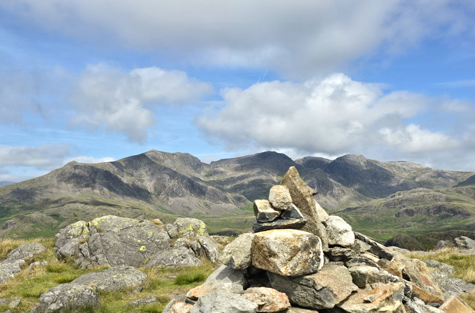 |
| The view towards Slight Side, Cam Spout Crag, Scafell, Scafell Pike, Broad Crag, III Crag and Great End. |
| Big views for little effort. |
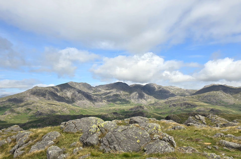 |
| The wider view. |
| With Highscarth Crag, Scar Larthing, Pen, High and Low Gait Crags and Esk Pike seen in the foreground. |
 |
| Slight Side, Cam Spout Crag, Sca Fell, Mickledore and Scafell Pike. |
| The breeze had picked up and I was feeling peckish, so I dropped from the summit and found myself a nice spot nestled between two rocky outcrops and tucked into lunch while taking in the views. |
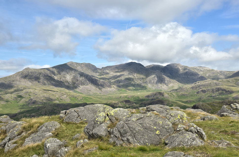 |
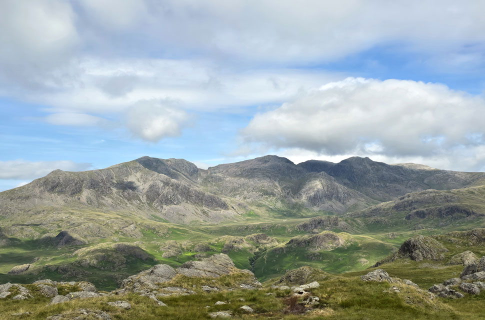
| Stunning scenery of England's highest ground. |
| |
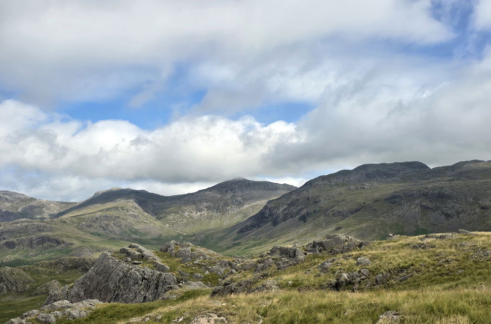 |
| Views towards Esk Pike, Bow Fell, Crinkle Crags and Adam-a-Cove to the right. |
| |
 |
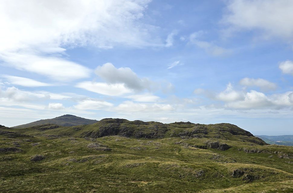
| One last photo before it's time to leave. |
| It's not often I sit down to eat, preferring to have lunch on the go or back at the car, but views like this aren't easily ignored and deserve to be appreciated with a sandwich in hand. |
 |
| I make my way back towards Border End. |
| After lunch I re-shouldered, dropped from the summit and began the short walk towards Border End under warm sunshine keeping right of the fell top as opposed to my approach to the summit which was from the left. |
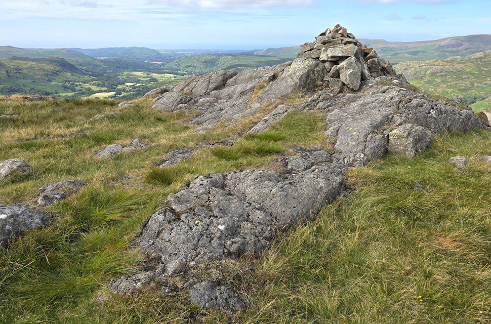 |
| Border End summit cairn. |
| Another hilltop requiring little effort to reach from the direction of Hard Knott summit and always worth paying the visit. |
 |
| The view towards Slight Side, Cam Spout Crag, Sca Fell, Scafell Pike, Broad Crag, III Crag, Great End and Esk Pike from Border End summit. |
| With Great Moss below. |
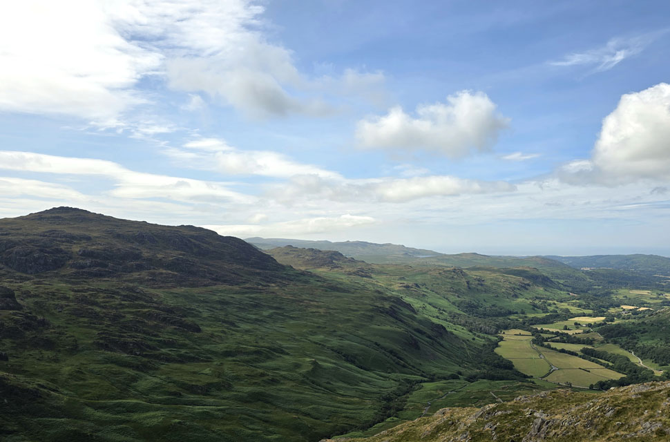 |
| Looking South-West towards Harter Fell (Eskdale) Kepple Crag, Crook Crag and Devoke Water. |
| I can just about make out the Roman Fort below with Jubilee Bridge in the wooded area beyond. |
 |
| The view towards Slight Side, Cam Spout Crag, Scafell, Scafell Pike, Broad Crag, III Crag, Great End, Esk Hause, and Bow Fell. |
| Taken from Border End summit cairn. |
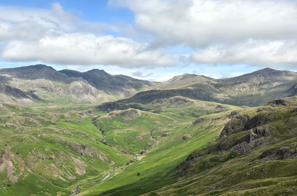 |
| The Eskdale Needle comes into view as I begin my descent from Border End. |
| I had two choices of descent, retrace my steps and head left following a narrow grassy trod steeply down the fell side or drop directly from the summit and link up with the same trod - I go with the latter. |
 |
| Stunning views from my descent. |
| You don't have to climb high to enjoy this area; you could easily spend a full day exploring the rocky knolls and outcrops with Highscarth Crag to the left, and Scar Lathing, Throstlehow Crag, and the High and Low Gait Crags to the right of the River Esk. |
 |
| Border End, Raven Crag, the top of Hardnott Pass and Crowhow End from Hardknott Roman Fort. |
| |
 |
| Border End and Raven Crag from Hardknott Roman Fort. |
I soon linked up with the narrow trod just below Border End summit and began the short but steep descent, taking in views of the Eskdale Needle, Great Moss, and the magnificent Scafell group. I descended by eye, reading the lay of the steep ground and zigzagging my way down, kicking my feet into the backs of my boots more out of habit, because that little shift inside the boot feels like the first beer on a hot summer's day. Parts of the descent I remembered from an ascent a few years ago, especially the pathless drop directly off the summit, which I find odd because I'm the guy who'd forget your name two minutes after you told me.
I continued down, my back to the Eskdale Needle as I turned south, still zigzagging grassy ledges until I dropped onto level, boggy ground it could have been much worse I suppose. I picked up another grassy trod that led through patches of bracken, the fort's walls getting closer, as did the north entrance where I passed a young lad taking keen interest in the ruins, which was great to see. From the pass, two girls also came through the entrance, by which time I'd positioned myself at the corner of the Commandant's House, from where I took this photo of Border End. I turned heel and left the fort through the south gate, beginning the short descent back to Jubilee Bridge.
On the first steep section of the pass I witnessed a two year old VW camper stall the engine cut out, the driver restarted it, but the slope was steep and the laden van struggled to move forward. He wheel-spun it all the way to the second corner. Poor van, and worth a few quid too. The driver passed me and I gave him a nod; the guy in the Peugeot behind wasn't as pleasant, shaking his head knowing he'd have to follow the camper over both passes. That had been my plan too, but I wasn't going to risk it and told myself I'd head home via the Birker Road instead. The short cuts through the bracken gave way for the final sixty yards of the pass, where my car came into view. The two cars whose owners had kitted up alongside me earlier were gone, replaced by different vehicles. It was exactly four hours since I'd set off, and with no real rush to get home, I finished the remainder of my sandwich on a nearby boulder, watching Hardknott Gill flow below through woodland and patchworks of sunshine. |
|
| |
| Back to top |
 |
|