|
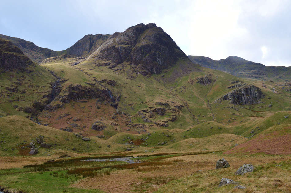
Greenhow End (The Step) |
 |
 |
Overview |
 |
|
| Height: |
2,378 Feet - 725 Metres |
| Grid Ref: |
NY 368 119 |
| Area: |
Eastern |
| Ordnance Survey: |
OL5 |
| |
|
|
| |
|
Map and Photo Gallery |
|
|
|
| |
|
Walks including Greenhow End are:- |
|
|
Fairfield via The Step |
|
|
 |
|
13th October 2022 |
| ASCENT: |
3,015 Feet - 919 Metres |
| MILES: |
8 |
| WAINWRIGHTS: |
2, Fairfield - St Sunday Crag |
| ROUTE: |
Deepdale Bridge – Wallend – Deepdale – Mossydale – Link Cove – The Step – Link Hause - Fairfield – Cofa Pike – Deepdale Hause - St Sunday Crag - Gavel Pike - Lord's Seat - Coldcove Gill - Deepdale - Deepdale Bridge |
|
| |
|
Fairfield via Deepdale and The Step |
|
|
|
|
15th April 2017 |
| ASCENT: |
3,627 Feet - 1,106 Metres |
| MILES: |
10 |
| WAINWRIGHTS: |
3, Fairfield - St Sunday Crag - Birks |
| ROUTE: |
Ruskin Museum - Church Beck - Miners Bridge – Coppermines Valley – Simons Nick – Levers Water – Black Sails - Swirl Hause - Sam Bottom - Great How Crags - Levers Hawse - Brim Fell - Brim Fell Rake - Levers Water - Coppermines Valley - Miners Bridge - Ruskin Museum |
|
| |
| Back to top |
 |
|