|
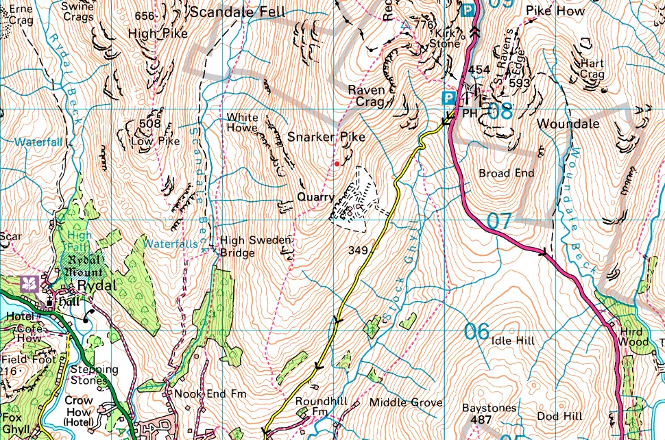
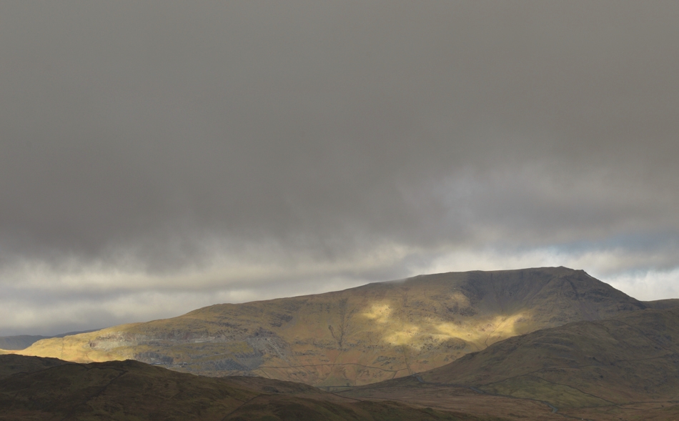
Snarker Pike |
 |
 |
Overview |
 |
|
| Height: |
2,112 Feet - 644 Metres |
| Grid Ref: |
NY 390 075 |
| Area: |
Eastern |
| Ordnance Survey: |
OL7 |
| Class: |
Synge |
|
| |
|
Map and Photo Gallery |
|
|
|
| |
|
Walks including Snarker Pike are:- |
|
|
A Scandale Round |
|
|
 |
|
9th May 2024 |
| ASCENT: |
3,280 Feet - 999 Metres |
| MILES: |
10 |
| WAINWRIGHTS: |
4, Low Pike - High Pike - Little Hart Crag - Red Screes |
| ROUTE: |
Miller Bridge - Rothay Park - Ambleside - Nook Lane - Nook End Farm - Low Sweden Bridge - Low Pike - High Pike - Scandale Head - Bakestones Moss - Little Hart Crag - Red Screes - Raven Crag - Snarker Pike - Kirkstone Road - Ambleside - Rothay Park - Miller Bridge |
|
| |
|
Scandale, Red Screes and Snarker Pike |
|
|
|
|
20th June 2020 |
| ASCENT: |
2,564 Feet - 782 Metres |
| MILES: |
8.5 |
| WAINWRIGHTS: |
2, Middle Dodd - Red Screes |
| ROUTE: |
Old Lake Road, Ambleside - Sweden Bridge Lane - Scandale - Scandale Pass - Middle Dodd - Smallthwaite Band - Red Screes - Snarker Moss - Snarker Pike - Kirkstone Road - Old Lake Road Ambleside |
|
| |
|
An alternative Fairfield Horseshoe |
|
|
|
|
29th November 2014 |
| ASCENT: |
4,500 Feet – 1,372 Meters |
| MILES: |
13.8 |
| WAINWRIGHTS: |
8, Red Screes – Little Hart Crag – Dove Crag – Hart Crag – Fairfield – Great Rigg – Heron Pike – Nab Scar |
| ROUTE: |
Miller Bridge – Rothay Park – Ambleside – Kirkstone Road – Snarker Pike – Red Screes – Scandale Pass – Little Hart Crag – Bakestones Moss – Dove Crag – Hart Crag – Link Hause – Fairfield – Great Rigg – Heron Pike – Nab Scar – Rydal Hall – Rydal Park – Scandale Bridge – Ambleside – Miller Bridge |
|
| |
|
Five hours above Scandale |
|
|
|
|
21st September 2012 |
| ASCENT: |
2,191 Feet, 668 Metres |
| MILES: |
9 |
| WAINWRIGHTS: |
4, Red Screes, Little Hart Crag, High Pike & Low Pike |
| ROUTE: |
Kirkstone Road – South Ridge – Snarker Pike – Raven Crag – Red Screes– Little Hart Crag – Scandale Tarn – High Bakestones – Scandale Head – Thack Bottom Edge – High Pike – Low Pike – High Sweden Bridge – Rough Sides – Kirkstone Road |
|
| |
| Back to top |
 |
|