 |
Bampton Fell |
 |
 |
Overview |
 |
|
| Height: |
1,604 Feet - 489 Metres |
| Grid Ref: |
NY 487 111 |
| Area: |
Far Eastern |
| Group: |
E/LOA |
| Ordnance Survey: |
OL5 |
|
| |
|
Map and Photo Gallery |
|
|
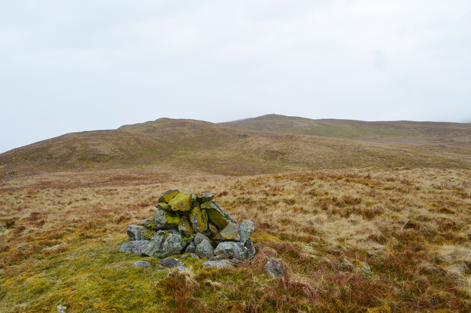 |
| Looking towards Bampton Fell from the east cairn. |
| |
|
| |
|
Walking the Birketts, Bampton Fell above Haweswater |
|
|
 |
|
7th April 2018 |
| ASCENT: |
1,096 Feet - 334 Metres |
| MILES: |
4.8 |
| BIRKETTS: |
Pinnacle Howe - Four Stones Hill - Bampton Fell |
| ROUTE: |
Burnbanks - Pinnacle Howe - Birkhouse Hill - Four Stones Hill - Bamptone Fell - Measand Beck - Burnbanks |
|
| |
|
Walks including are Bampton Fell are :- |
|
| Back to top |
 |
|
