 |
Blake Rigg, Little Langdale |
 |
 |
Overview |
 |
|
| Height: |
1,755 Feet - 535 Metres |
| Grid Ref: |
NY 285 039 |
| Area: |
Southern |
| Group: |
W/BOW |
| Ordnance Survey: |
OL6 |
|
| |
|
Map and Photo Gallery |
|
|
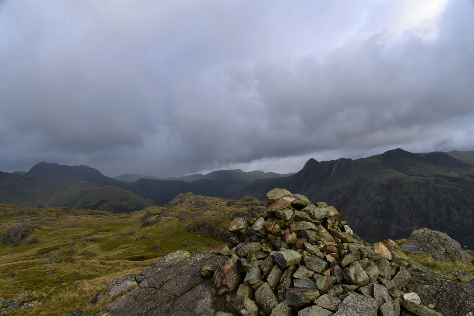 |
| The Band, Bow Fell, Allen Crags, Glaramara, Rossett Pike and the Langdale Pikes from Blake Rigg. |
| |
|
| |
|
Walks including are Blake Rigg, Little Langdale :- |
|
|
Walking the Birketts, Pike O'Blisco and Wrynose Fell Cicuit |
|
|
 |
|
5th September 2020 |
| ASCENT: |
2,165 Feet - 660 Metres |
| MILES: |
5 |
| BIRKETTS: |
5, Blake Rigg - Long Crag (Wrynose Fell) - Pike O'Blisco - Great Knott - Cold Pike |
| ROUTE: |
Wrynose Bridge - Wrynose Beck - Blake Rigg - Long Crag (Wrynose Fell) - Pike O'Blisco - Red Tarn (Langdale) - Great Knott - Cold Pike - Red Tarn (Langdale) - Redtarn Moss - Three Shire Stone - Wrynose Pass - Wrynose Bridge |
|
| |
| Back to top |
 |
|
