|
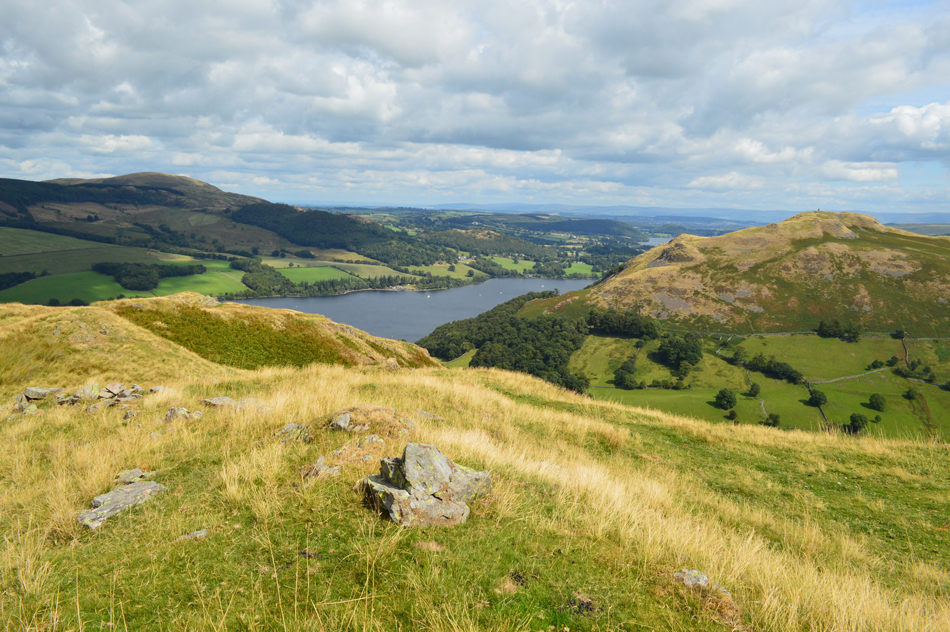
Sleet Fell |
 |
 |
Overview |
 |
|
| Height: |
1240 Feet - 378 Metres |
| Grid Ref: |
NY 422 188 |
| Area: |
Far Eastern |
| Group: |
E/MAR |
| Ordnance Survey: |
OL5 |
|
| |
|
Map and Photo Gallery |
|
|
|
| |
|
Walks including Sleet Fell are:- |
|
|
Walking the Birketts, Place Fell Round |
|
|
 |
|
11th August 2018 |
| ASCENT: |
1,810 Feet - 552 Metres |
| MILES: |
5.2 |
| BIRKETTS: |
Low Birk Fell - Bleaberry Knott - The Knight - Place Fell - High Dodd - Sleet Fell |
| ROUTE: |
Sandwick - Scalehow Beck - Low Birk Fell - Smeathwaite - Bleaberry Knott - The Knight - Place Fell - High Dodd - Sleet Fell - Sleet Fell - Sandwick |
|
| |
|
Beda Fell to Place Fell from Martindale |
|
|
|
|
1st December 2013 |
| ASCENT: |
2,714 Feet 827 Meters |
| MILES: |
9 |
| WAINWRIGHTS: |
3, Beda Fell – Angletarn Pikes – Place Fell |
| ROUTE: |
The Hause – Martindale – Nickles – Beda Fell – Bedafell Knott – Heckbeck Head – Angletarn Pikes – Angle Tarn – Boredale Hause – Steel Edge – Place Fell – Hart Crag – Low Moss – High Dodd – Sleet Fell – Garth Head Farm – The Hause |
|
| |
| Back to top |
 |
|