|
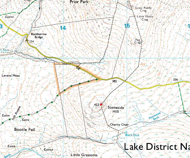
Stoneside Hill |
 |
 |
Overview |
 |
|
| Height: |
1384 Feet - 422 Metres |
| Grid Ref: |
SD 145 892 |
| Area: |
Southern |
| Group: |
S/WHI |
| Ordnance Survey: |
OL6 |
|
| |
|
Map and Photo Gallery |
|
|
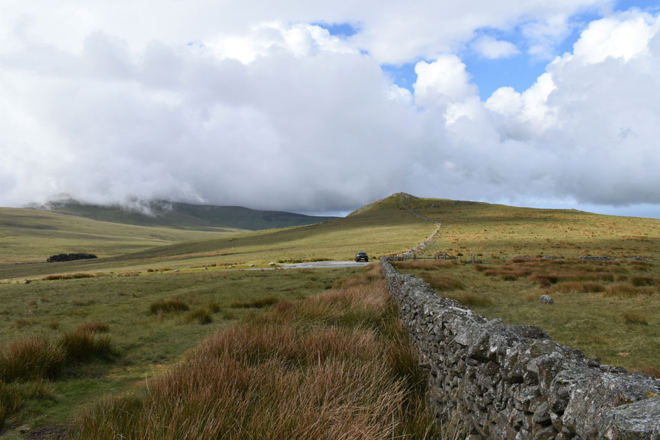 |
| Stoneside Hill seen from the top of Corney Fell road summit. |
| |
|
| |
|
Walks including Stoneside Hill are:- |
|
|
Walking the Birketts, Buck Barrow above Corney Fell |
|
|
 |
|
6th June 2020 |
| ASCENT: |
1,100ft 335 Metres |
| MILES: |
5.5 |
| BIRKETTS: |
5, Great Paddy Crag - Buck Barrow - Kinmount Buck Barrow - Burn Moor - Plough Fell - Stoneside Hill |
| ROUTE: |
Corney Fell Road Summit - Great Paddy Crag - Buck Barrow - Kinmount Buck Barrow - Burn Moor - Plough Fell - Little Paddy Crag - Corney Fell Road Summit - Stoneside Hill - Corney Fell Road Summit |
|
| |
| Back to top |
 |
|