|
Whinscales - Eskdale Fell |
 |
 |
Overview |
 |
|
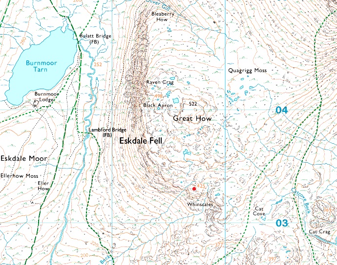
| Height: |
1394 Feet - 425 Metres |
| Grid Ref: |
NY 197 033 |
| Area: |
Southern |
| Group: |
W/ESK |
| Ordnance Survey: |
OL6 |
|
| |
|
Map and Photo Gallery |
|
|
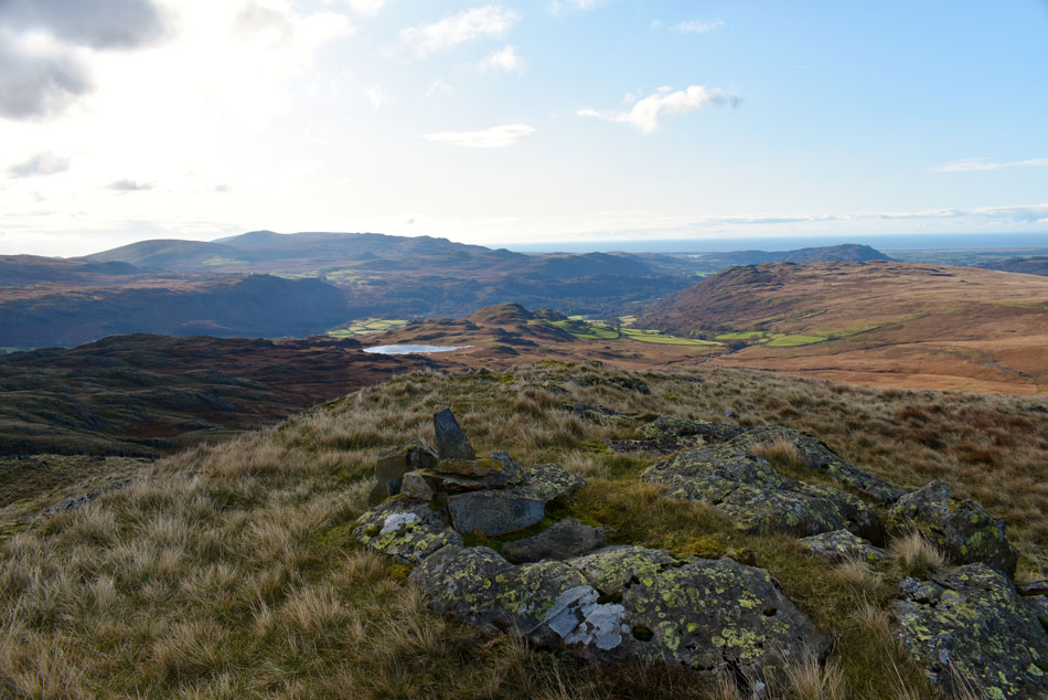 |
| Eel Tarn from Whinscales summit. |
| |
|
| |
|
Walks including Whinscales - Eskdale Fell are:- |
|
|
Walking the Birketts, Burnmoor and Eskdale Fell |
|
|
 |
|
15th November 2019 |
| ASCENT: |
1,800 Feet - 550 Metres |
| MILES: |
7 |
| BIRKETTS: |
3, Boat How - Great How on Eskdale Fell - Whinscales on Eskdale Fell |
| ROUTE: |
Dalegarth Hall - Eskdale - Boot - Brats Moss - Boat How - Burnmoor Tarn - Bulatt Bridge - Oliver Gill - Bleaberry How - Great How - Whinscales - Stony Tarn - Eel Tarn - Gill Bank - Boot - Dalegarth Hall |
|
| |
| Back to top |
 |
|