 |
Caw |
 |
 |
Overview |
 |
|
| Height: |
1,735 Feet - 529 Metres |
| Grid Ref: |
SD 230 944 |
| Area: |
Southern |
| Group |
S/DOW |
| Ordnance Survey: |
OL6 |
| Wainwright Guidebook: |
Outlying Fells |
|
| |
|
Map and Photo Gallery |
|
|
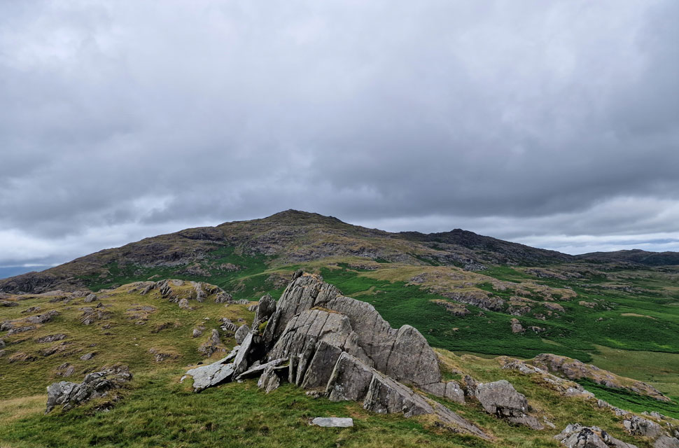 |
| Caw from Fox Haw. |
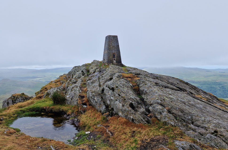 |
| Caw summit. |
|
| |
|
Walks including Caw are:- |
|
|
Caw & Stickle Pike from Ulpha |
|
|
 |
|
1st July 2023 |
| ASCENT: |
2,734 Feet - 833 Metres |
| MILES: |
9 |
| VISITING: |
4, Caw - Fox Haw - Stickle Pike - Great Stickle |
| ROUTE: |
Ulpha - Birks - Kiln Bank Cross - Park Head Road - Caw - Long Mire - Fox Haw - Kiln Bank Cross - Stickle Pike - Great Stickle - Black Stones - Ulpha |
|
| |
| Back to top |
 |
|
