|
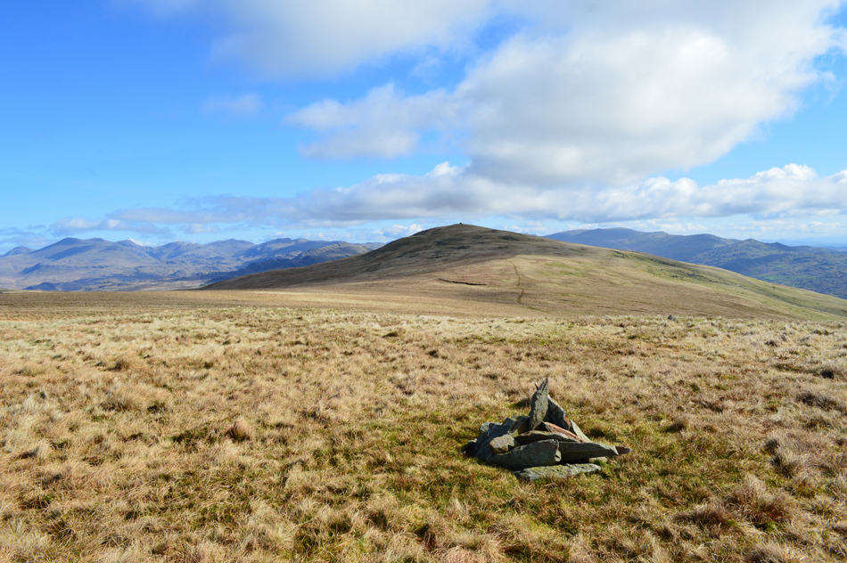
Whitfell |
 |
 |
Overview |
 |
|
| Height: |
1,879 Feet - 573 Metres |
| Grid Ref: |
SD 158 929 |
| Area: |
Southern |
| Group: |
S/WHI |
| Ordnance Survey: |
OL6 |
| Wainwright Guidebook: |
Outlying Fells |
|
| |
|
Map and Photo Gallery |
|
|
|
| |
|
Walks including Whitfell are:- |
|
|
The Outlying Fells, Whitfell from Corney Fell Road Summit |
|
|
 |
|
2nd April 2017 |
| ASCENT: |
1,100 Feet - 335 Metres |
| MILES: |
5.75 |
| OUTLYING FELLS: |
Whitfell |
| ROUTE: |
Fell Road Summit - Peg Crag - Great Paddy Crag - Buck Barrow - Burn Moor - Whitfell - Burn Moor - Kinmount Buck Barrow - Fell Road Summit
|
|
| |
| Back to top |
 |
|