|
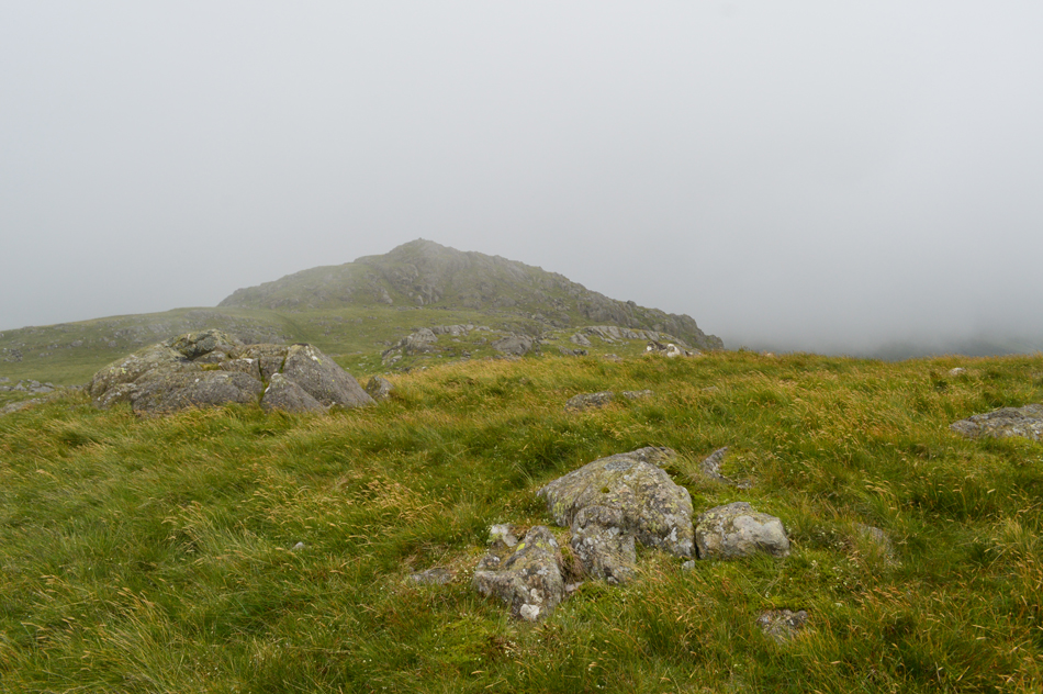
Yoadcastle |
 |
 |
Overview |
 |
|
| Height: |
1,620 Feet - 494 Metres |
| Grid Ref: |
SD 156 952 |
| Area: |
South Western |
| Group: |
S/WHI |
| Ordnance Survey: |
OL6 |
| Wainwright Guidebook: |
Outlying Fells |
|
| |
|
Map and Photo Gallery |
|
|
|
| |
|
Walks including Yoadcastle are:- |
|
|
The Outlying Fells, The Circuit of Devoke Water |
|
|
 |
|
24th June 2017 |
| ASCENT: |
2,250 Feet - 686 Metres |
| MILES: |
5.5 |
| OUTLYING FELLS: |
6, Rough Crag - Water Crag - White Pike - Yoadcastle - Woodend Height - Seat How
|
| ROUTE: |
Birker Fell Road - Rough Crag - Water Crag - White Pike - Yoadcastle - Woodend Height- Devoke Water - Seat How - Birker Fell Road
|
|
| |
| Back to top |
 |
|