The Nab is, in chractor, akin to the three Dodds around Kirkstonefoot. Very steep-side, soaring in symmetrical lines to a slender cone, it appears from the pastures of Martindale as a lofty wedge splitting the valley into two branches, Rampsgill and Bannerdale.
Map and Photo Gallery
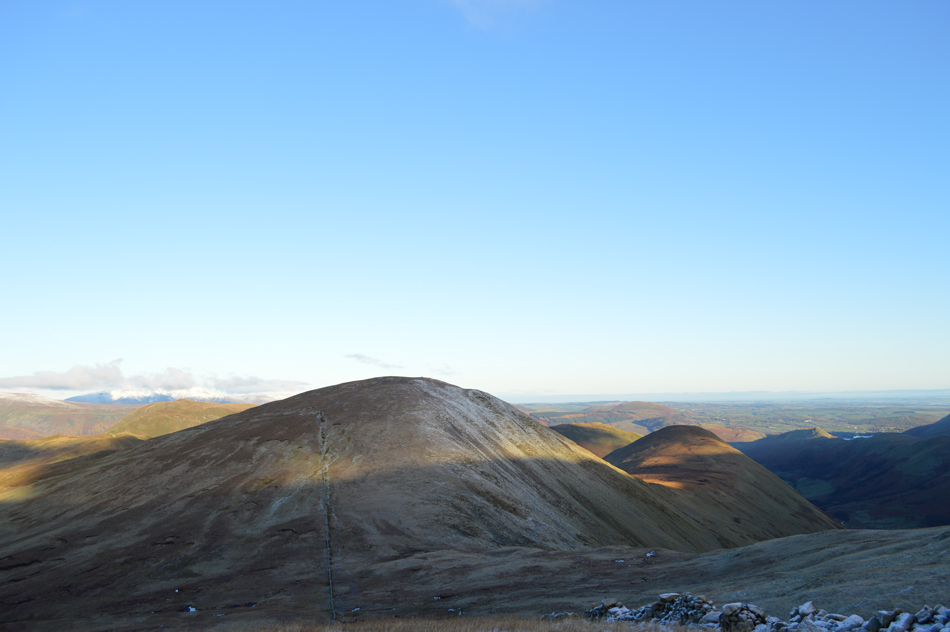
Rest Dodd and The Nab (right) from Rampsgill Head,
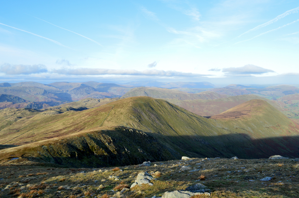
The Nab
Rest Dodd and The Nab.
There are 4 walks to choose from including The Nab
Martindale's Bannerdale Horseshoe
6th September 2025
ASCENT:
2,780 Feet - 847 Metres
MILES:
9.5
WAINWRIGHTS:
5, Beda Fell - Angletarn Pikes - Brock Crags - Rest Dodd - The Nab
ROUTE:
Martindale New Church - Martindale Old Church - Winter Crag - Beda Fell - Bedafell Knott - Heckbeck Head - Angletarn Pikes North Top - Angletarn Pikes South Top - Angle Tarn - Brock Crags - Satura Crag - Rest Dodd - The Nab - Nab End - Martindale - Martindale Old Church - Martindale New Church
Walking the Birketts, Martindale's Bannerdale Horseshoe
20th October 2018
ASCENT:
2,764 Feet - 843 Metres
MILES:
9.5
BIRKETTS:
6, Beda Head (Beda Fell) - Angletarn Pike North Top - Angletarn Pike South Top - Brock Crags - Rest Dodd - The Nab
ROUTE:
Martindale New Church - Martindale Old Church - Winter Crag - Beda Head (Beda Fell) - Bedafell Knott - Heckbeck Head - Angletarn Pike South Top - Angletarn Pike North Top - Angle Tarn - Cat Crag - Brock Crags - Satura Crag - Rest Dodd - The Nab - Below Nab End - Martindale - Martindale Old Church - Martindale New Church
Walking the Wainwrights in 30 Walks - Walk 20 Fourteen Fells east of Ullswater
3rd July 2016
ASCENT:
4,790 Feet - 1,460 Meters
MILES:
19.9
WAINWRIGHTS:
14, Bonscale Fell - Arthurs Pike - Loadpot Hill - Wether Hill - High Raise (Martindale) - Kidsty Pike - Rampsgill Head - High Street - The Knott - Rest Dodd - The Nab - Brock Crags - Angletarn Pikes - Beda Fell
ROUTE:
Martindale New Church - Mellgaurds - Bonscale Pike - Top of Swarth Beck - Arthurs Pike - Loadpot Hill - Wether Hill - Red Crag - High Raise (Martindale) - Rampsgill Head - Kidsty Pike - Straights of Riggindale - High Street - Straights of Riggindale - The Knott - Rest Dodd - The Nab - Satura Crag - Brock Crags - Angletarn Pikes - Heckbeck Head - Beda Knott - Beda Fell - Winter Crag - Martindale Old Church - Martindale New Church
Deluge On The Far Eastern Fells
16th July 2011
ASCENT:
3,261 Feet, 992 Meters
MILES:
12.5
WAINWRIGHTS:
7, Beda Fell, Brock Crags, The Knott, Rampsgill Head, High Raise, Rest Dodd & The Nab