|
Calf Crag |
 |
 |
Map and Photo Gallery |
 |
|
 |
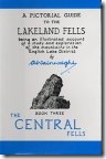
| Looking towards Pike of Carrs with Calf Crag beyond. |
 |
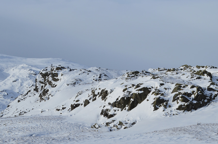
| Brown Crags, Helvellyn, Nethermost Pike, Dollywagone Pike and Seat Sandal from Calf Crag summit cairn. |
|
| |
|
There are 8 walks to choose from including Calf Crag |
|
|
The Greenburn Horseshoe |
|
|
 |
|
2nd June 2026 |
| ASCENT: |
2,277 Feet - 694 Metres |
| MILES: |
8.1 |
| WAINWRIGHTS: |
4, Helm Crag - Gibson Knott - Calf Crag - Steel Fell (Dead Pike) |
| ROUTE: |
A591 - Grasmere - Easdale Road - Lancrigg - White Crag - Helm Crag - Bracken Hause - Gibson Knott - Pike of Carrs - Calf Crag - Steel Fell Tarn - Steel Fell - Cotra Breast - Ghyll Foot - Underhelm - A591 |
|
| |
|
The Greenburn Horseshoe |
|
|
|
|
7th November 2023 |
| ASCENT: |
2,277 Feet - 694 Metres |
| MILES: |
8.1 |
| WAINWRIGHTS: |
4, Helm Crag - Gibson Knott - Calf Crag - Steel Fell (Dead Pike) |
| ROUTE: |
A591 - Grasmere - Easdale Road - Lancrigg - White Crag - Helm Crag - Bracken Hause - Gibson Knott - Pike of Carrs - Calf Crag - Steel Fell Tarn - Steel Fell - Cotra Breast - Ghyll Foot - Underhelm - A591 |
|
| |
|
Walking the Birketts, Helm Crag to Steel Fell Horseshoe |
|
|
|
|
24th June 2018 |
| ASCENT: |
2,277 Feet - 694 Metres |
| MILES: |
8.1 |
| BIRKETTS: |
4, Helm Crag - Gibson Knott - Calf Crag - Dead Pike (Steel Fell) |
| ROUTE: |
A591 - Butharlyp Howe - Easdale Road - Lancrigg - Helm Crag - Bracken Hause - Gibson Knott - Pike of Carrs - Calf Crag - Steel Fell Tarn - Steel Fell - Cotra Breast - Ghyll Foot - Underhelm - Easedale Road - Butharlyp Howe - A591 |
|
| |
|
Walking the Wainwrights in 30 Walks - Walk 1 A Greenburn Skyline |
|
|
|
|
16th January 2015 |
| ASCENT: |
3,150 Feet - 961 Meters |
| MILES: |
11.2 |
| WAINWRIGHTS: |
5, Helm Crag - Gibson Knott - Calf Crag - Sergeant Man - Steel Fell |
| ROUTE: |
A591 - Butharlyp Howe - Easedale Road - Helm Crag - Gibson Knott - Calf Crag - Brownrigg Moss - Broadstone Head - Sergeant Man - Broadstone Head - Brownrigg Moss - Steel Fell Tarn - Steel Fell - Cotra Breast - Helm Side - Low Mill Bridge - Goody Bridge - Grasmere - A591 |
|
| |
|
Scafell Pike from Dunmail Raise |
|
|
|
|
3rd May 2014 |
| ASCENT: |
5,800 Feet 1,768 Meters |
| MILES: |
16.8 |
| WAINWRIGHTS: |
10, Steel Fell – Calf Crag – Sergeant Man – Thunacar Knott – Pavey Ark – Harrison Stickle – Pike O’ Stickle – Rossett Pike – Great End – Scafell Pike |
| ROUTE: |
Dunmail Raise – Steel Fell – Steelfell Tarn – Calf Crag – Brownrigg Tarn – Codale Head – Sergeant Man – Thunacar Knott – Pavey Ark – Harrison Stickle – Pike O’Stickle – Martcrag Moor – Stake Pass – Rossett Pike – Angle Tarn (Langstrath) – Esk Hause – Calf Cove – Great End – Broad Crag Col – Scafell Pike – Corridor Route – Styhead – Styhead Gill – Stockley Bridge – Seathwaite |
|
| |
|
The Wythburn Fells |
|
|
|
|
23rd November 2012 |
| ASCENT: |
798 Metres, 2,618 Feet |
| MILES: |
9.6 |
| WAINWRIGHTS: |
4, Ullscarth – High Raise – Calf Crag – Steel Fell |
| ROUTE: |
Wythburn – Birk Crag – Harrop Tarn – Mosshause Gill – Standing Crag – Ullscarth – Greenup Edge – Low White Stones – High Raise – Sergeant Man – Deep Slack – Brownrigg Moss – Steel Fell – Steel Fell North Ridge – Steel End – Wythburn |
|
| |
|
High Raise from Grasmere via Helm Crag |
|
|
|
|
7th January 2012 |
| ASCENT: |
2,800 Feet, 854 Meters |
| MILES: |
9.6 |
| WAINWRIGHTS: |
5, Helm Crag, Gibson Knott, Calf Crag, High Raise, Sergeant Man |
| ROUTE: |
Grasmere – Easedale Road – Helm Crag – Gibson Knott – Calf Crag – Brownrigg Moss – Mere Beck – High Raise – Sergeant Man – Easedale Tarn – Easedale – Grasmere |
|
| |
|
The Greenburn Horseshoe |
|
|
|
|
25th August 2010 |
| ASCENT: |
2,456 Ft, 758 Mtrs |
| MILES: |
8.5 |
| WAINWRIGHTS: |
4, Helm Crag, Gibson Knott, Calf Crag, Steel Fell |
| ROUTE: |
|
|
| |
| Back to top |
 |
|