 |
Angletarn Pike South Top |
 |
 |
Overview |
 |
|
| Height: |
1,853 Feet - 565 Metres |
| Grid Ref: |
NY 414 311 |
| Area: |
Far Eastern |
| Group: |
E/MAR |
| Ordnance Survey: |
OL5 |
|
| |
|
Map and Photo Gallery |
|
|
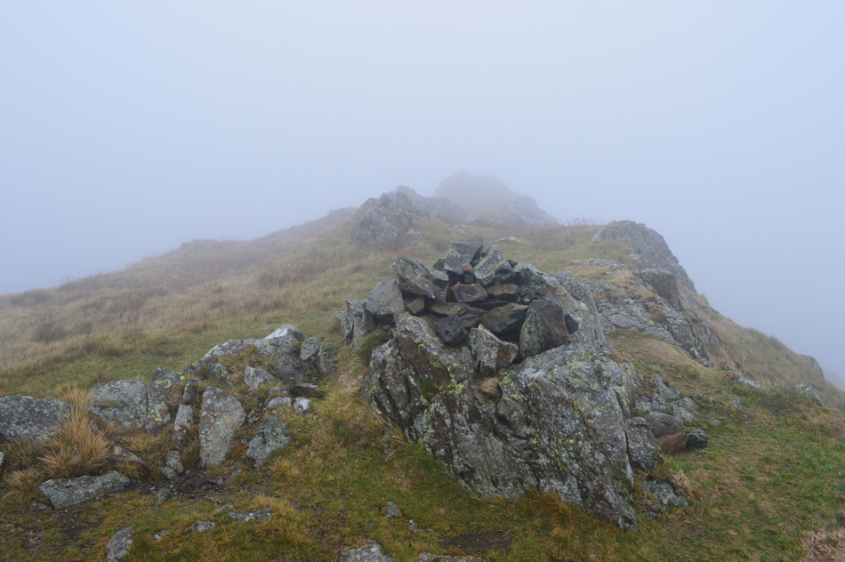 |
| Angletarn South Top. |
| |
|
| |
|
Walks including Angletarn Pike South Top are:- |
|
|
Martindale's Bannerdale Horseshoe |
|
|
 |
|
6th September 2025 |
| ASCENT: |
2,780 Feet - 847 Metres |
| MILES: |
9.5 |
| WAINWRIGHTS: |
5, Beda Fell - Angletarn Pikes - Brock Crags - Rest Dodd - The Nab |
| ROUTE: |
Martindale New Church - Martindale Old Church - Winter Crag - Beda Fell - Bedafell Knott - Heckbeck Head - Angletarn Pikes North Top - Angletarn Pikes South Top - Angle Tarn - Brock Crags - Satura Crag - Rest Dodd - The Nab - Nab End - Martindale - Martindale Old Church - Martindale New Church |
|
| |
|
Angletarn Pikes to Rest Dodd from Hartsop |
|
|
|
|
13th July 2024 |
| ASCENT: |
2,349 Feet - 715 Metres |
| MILES: |
7.2 |
| WAINWRIGHTS: |
3, Angletarn Pikes - Brock Crags - Rest Dodd |
| ROUTE: |
Hartsop - Calf Close - Dub How - Boredale Hause - Angletarn Pikes - Angletarn Pikes South Top - Angle Tarn - Brock Crags - Satura Crag - Rest Dodd - Hayeswater - Hayeswater Gill - Hartsop |
|
| |
|
Walking the Birketts, Martindale's Bannerdale Horseshoe |
|
|
|
|
20th October 2018 |
| ASCENT: |
2,764 Feet - 843 Metres |
| MILES: |
9.5 |
| BIRKETTS: |
6, Beda Head (Beda Fell) - Angletarn Pike North Top - Angletarn Pike South Top - Brock Crags - Rest Dodd - The Nab |
| ROUTE: |
Martindale New Church - Martindale Old Church - Winter Crag - Beda Head (Beda Fell) - Bedafell Knott - Heckbeck Head - Angletarn Pike South Top - Angletarn Pike North Top - Angle Tarn - Cat Crag - Brock Crags - Satura Crag - Rest Dodd - The Nab - Below Nab End - Martindale - Martindale Old Church - Martindale New Church |
|
| |
|
The Martindale Horseshoe |
|
|
|
|
19th May 2013 |
| ASCENT: |
4,007 Feet, 1,221 Metres |
| MILES: |
12 |
| WAINWRIGHTS: |
9, Beda Fell – Angletarn Pikes – Brock Crags – Rest Dodd – The Knott – Rampsgill Head – High Raise – Wether Hill – Steel Knotts (Pikeawassa) |
| ROUTE: |
Martindale New Church – Martindale Old Church – Winter Crag – Beda Fell – Bedafell Knott – Angletarn Pikes – Brock Crags – Satura Crag – Rest Dodd – The Knott – Rampsgill Head – High Raise – Raven Howe – Red Crag – High Street Roman Road (Course Of) – Wether Hill – Brownthwaite Crag – Steel Knotts (Pikeawassa) – Birkie Knott – Lanty Tarn – Martindale New Church |
|
| |
| Back to top |
 |
|
